
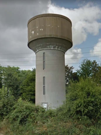
Capacité : 300m³
Détruit : 2018

Carte
Route d'Angers
|
|
|
| Laval (53) | |
| © Photo Google (2016) | |
|
|
Année : 1965 Capacité : 300m³ Détruit : 2018 |
|
GPS : 48°02'13.1N, 00°44'26W Carte |
N162 Route d'Angers |