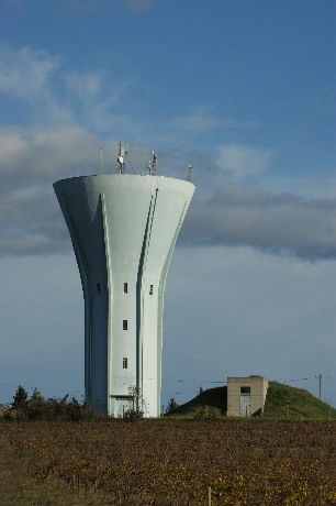
Montélimar (26)
© Photo Lefevre I. & Ph. (2009)
Année : 1957
GPS : 44°34'36N, 04°46'47E
Carte
Chemin du Réservoir Haut