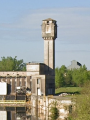
Fumel (47)
© Photo Google (2023)
GPS : 44°29'27.6N, 00°57'43.4E
Carte
Centrale hydroélectrique
La tour a été utilisée comme château d'eau.