
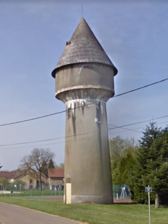
Capacité : 80m³
H. totale : 20m
Détruit : 2022

Carte
|
|
|
| Maizières-sur-Amance (52) | |
| © Photo Google (2010) | |
|
|
Année : 1936 Capacité : 80m³ H. totale : 20m Détruit : 2022 |
|
GPS : 47°49'41.3N, 05°36'38E Carte |
Grande Rue |
| Le château d'eau a été en fonctionnement pour alimenter les habitants en eau potable jusqu’en 2007. | |